Being able to dive and view our amazing underwater world is a skill acquired by just a tiny percentage of the world.
Imagine, then, if non-divers could explore a sunken shipwreck from the safety of the shore with help of 3D visualisation technology.
Signage linked to interactive 3D models
Signage for a 3D shipwreck trail is now set up on the popular WA tourist spot of Rottnest Island off the coast of Perth.
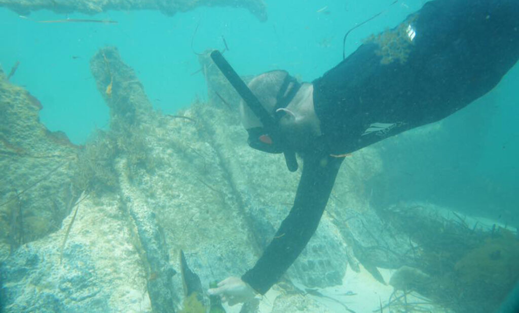
Tourists can read about the shipwreck and then scan a QR code to see a detailed 3D model of the wreck of Uribes, which sank in 1942.
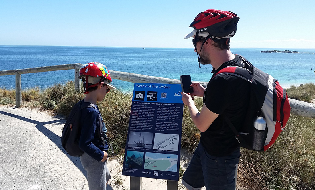
They can interact with it and navigate through the shipwreck as if they were underwater.
This is the result of the final stage of the PRIISMH project—the Program for the Rottnest Island Interpretation of Shipwrecks and Maritime Heritage.
It’s run by the Maritime Archaeology Association of Western Australia (MAAWA) in partnership with the WA Museum (WAM).
It’s thought this is the first time in the world that signage of a shipwreck has been linked to interactive 3D models of underwater wreck sites.
The idea was started in 2014 by 3DMAPPR, a project that recorded underwater sites around WA in 3D, says Nicolas Bigourdan, Assistant Curator of Maritime Archaeology at WAM.
Creating an easy way to record sites
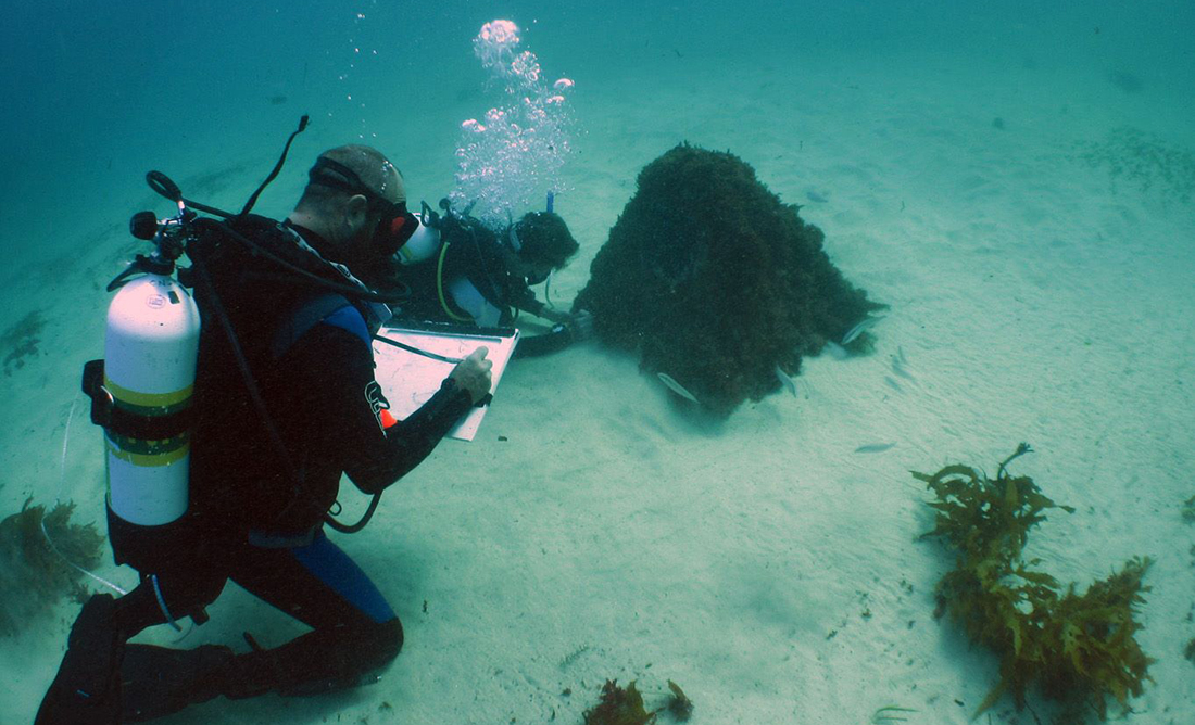
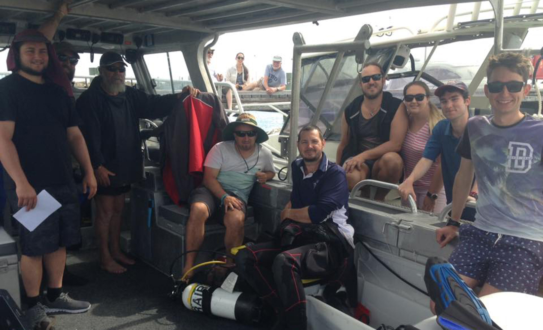
Nic and three MAAWA members got together to work out a way to create easy, cheap, accurate and fast 3D recording of underwater archaeological sites.
“The technology already existed—AGISOFT Photoscan—and it is a fantastic tool,” he says.
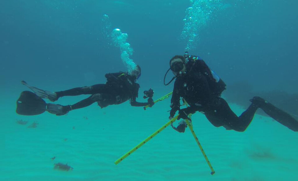
“We started to test it using inexpensive GoPro cameras and the software, proposing guidelines to use them in combination.”
The group then tested them around the Perth area—river and coast—on shipwrecks of different sizes, contexts and environments.
More volunteers from MAAWA then became involved in testing the technology.
“We also created a course to share this information to others in the form of lectures and workshops,” Nic says.
Nic says PRIISMH was the next step for MAAWA from 3DMAPPR.
The Australian National Maritime Museum provided the funding to create the project to specifically map maritime heritage areas of Rottnest Island with the Rottnest Island Authority.
No need to get wet to view shipwrecks
A 2015 condition report of the Rottnest onshore shipwreck plaques by MAAWA showed much deterioration and suggested the land-based shipwreck trails were in much need of an update.
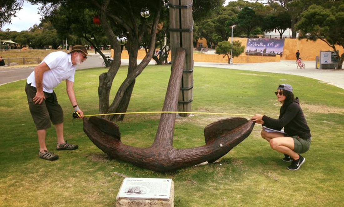
“Not only was it tried underwater, but also on land,” Nic says, “looking at maritime cultural archaeological features like the anchor at the end of the ferry jetty.”
Nic says, all up, six 3D models of shipwrecks have been created and stored on a platform called Sketchfab.
“We now can relate physical signage to the Sketchfab platform that provides a direct 3D model of the Uribes shipwreck in front of them.”
Anyone who comes to Rottnest who can’t dive or snorkel or is unable to go in the water now has another way to see these amazing sites.
“It bridges the gap and creates a new layer to connect the public to underwater cultural heritage,” says Nic.
At this stage, Uribes is currently the only shipwreck with signage and the QR code.
There are, however, five more 3D shipwreck models on the MAAWA Sketchfab platform ready to receive the same treatment.
This will hopefully be soon, when more funding becomes available.


